LC350 Town Crier
A Drive Through Town
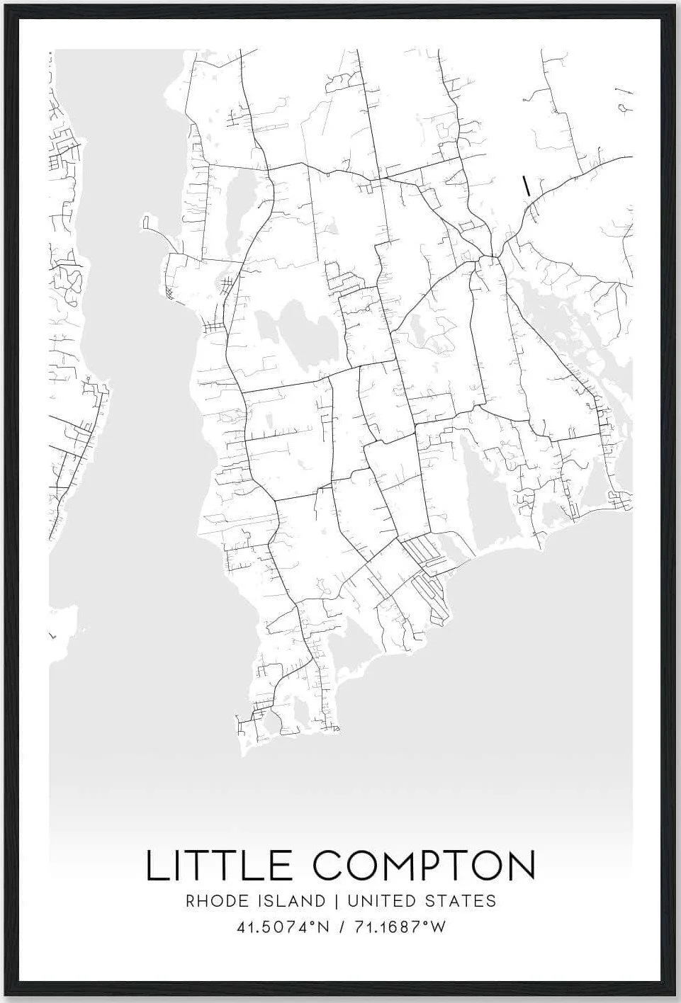
With all the construction on Little Compton roads recently I have been joking that if you don’t know Little Compton you will never be able to find your way home! One evening I left a meeting at the Community Center, went to go home down Simmons Road (CLOSED), South of Commons Road (CLOSED), so I headed west on Meeting House Lane, south on West Main Road, east on Swamp and Brownell Road, and North on Maple Avenue, until I came to my road! As I have been researching for the Town Crier submissions, I have become more aware of some of the changes in street and road names throughout the years. I have decided to write a story about traveling around Little Compton long ago to see how many people recognize these names of the past. Come along on my journey through time.
As I drive through the early morning fog into Little Compton down the Great West Road, I remember the many times I have driven this route. So many memories! Turning east down Peckham Road I soon pass Pudding Bag Lane and Chapel Corner, the site of a Mormon Chapel built in 1844, and then rise over Simmons Hill to Clapp’s Corner. How many times did I run into Clapp’s Store for penny candy? Almost immediately the Stone School is on my left, and then one of the only natural bogs in Rhode Island. I remember being chased by a bull while blueberry picking in that bog at Cottonwood Corner. Thinking about Wilbur’s Icehouse where ice from Simmons Mill Pond would be cut into blocks and stored in sawdust and hay to keep it frozen until needed in the summer, I was soon traveling through Colebrook (or is it Cold Brook?), then down the steep hill into the village of Adamsville. Here we find Abraham Manchester’s General Store, built in 1820 by Ebenezer Church (a great-great uncle of President Franklin D. Rosevelt). Here you will also find a monument to the Rhode Island Hen, a source of great contention when it was erected. Others thought it should be in another part of the town. Gray’s store is here too, built in 1788, purported to be the oldest in the country. Giffordsville is here because the Giffords owned a great deal of the land. The Tabers owned the grist mill, a carding mill, and a tanning mill up the Crandall Road a piece, so they called it Tabers’ Mills! A little more contention, I think! As I leave the village I travel the Harbor Road, then for a bit into Massachusetts on the old Acoaxet Road to the Compton Turn, through Potter’s Corner (passing John Dyer Road, one of the last in town to be paved), until I arrive at Crosby’s Corner. Heading south, I pass Snell Road, and the two roads named for the Sissons (John and William). It is on the corner of William Sisson Road that another monument to the Rhode Island Red hen is situated. Traveling down Bixby Road from William Sisson Road I encounter John Sisson Road, and then the road to South Shore. Taking a right soon brings me to Petticoat Lane, a trip through the Psalming Country, and the road to the Town Farm and Head’s Beach. However, I keep on Swamp Road, passing Wilbour Woods, then head south on the Great West Road, or Road to S’cunnet. I turn left after the Stone House (built of stones from the first breakwater, on land once owned by Colonel Benjamin Church and now owned by Colonel Henry T. Sisson, Civil War hero and the inventor of the 3-ring binder), and set my sights on the beauty of Lake Josephine, so named by Col. Sisson for his second wife, Emily Josephine Brownell.
Heading west, I arrive at Sakonnet Point just as the steamer Islander is arriving to drop off day trippers and/or vacationers, most heading for accommodations at the Lyman Hotel. I check out the lighthouse and try to get a glimpse of what’s going on at West Island, the famous fishing club, just enough offshore to be very private!
Back up the Road to ‘Scunnet, I pass Gray’s windmill and Wilbor’s windmill. I decide to take a short detour down Wilbor’s Lane to get a good look at the Sakonnet River from this side of the shoreline. Back on the Road to S’cunnet, I head down Meeting House Lane to Christian Corner where the Brownell House is located. I have a quick bite to eat at Idella Heywood’s Hannah Elizabeth Tea Room on the Commons before I head back to the Great West Road, fogged in again, and wend my weary way home.
Note: If you were able to follow me on my journey around Little Compton, perhaps you have been in Little Compton a long, long time and should have one of the tee shirts that just arrived at the LC350 store. See this tee shirt and lots of other merchandise at our store in the Brownell House, or check out our website LC350th.com